Discover Herzogstand Hike: Two Lakes from One Summit
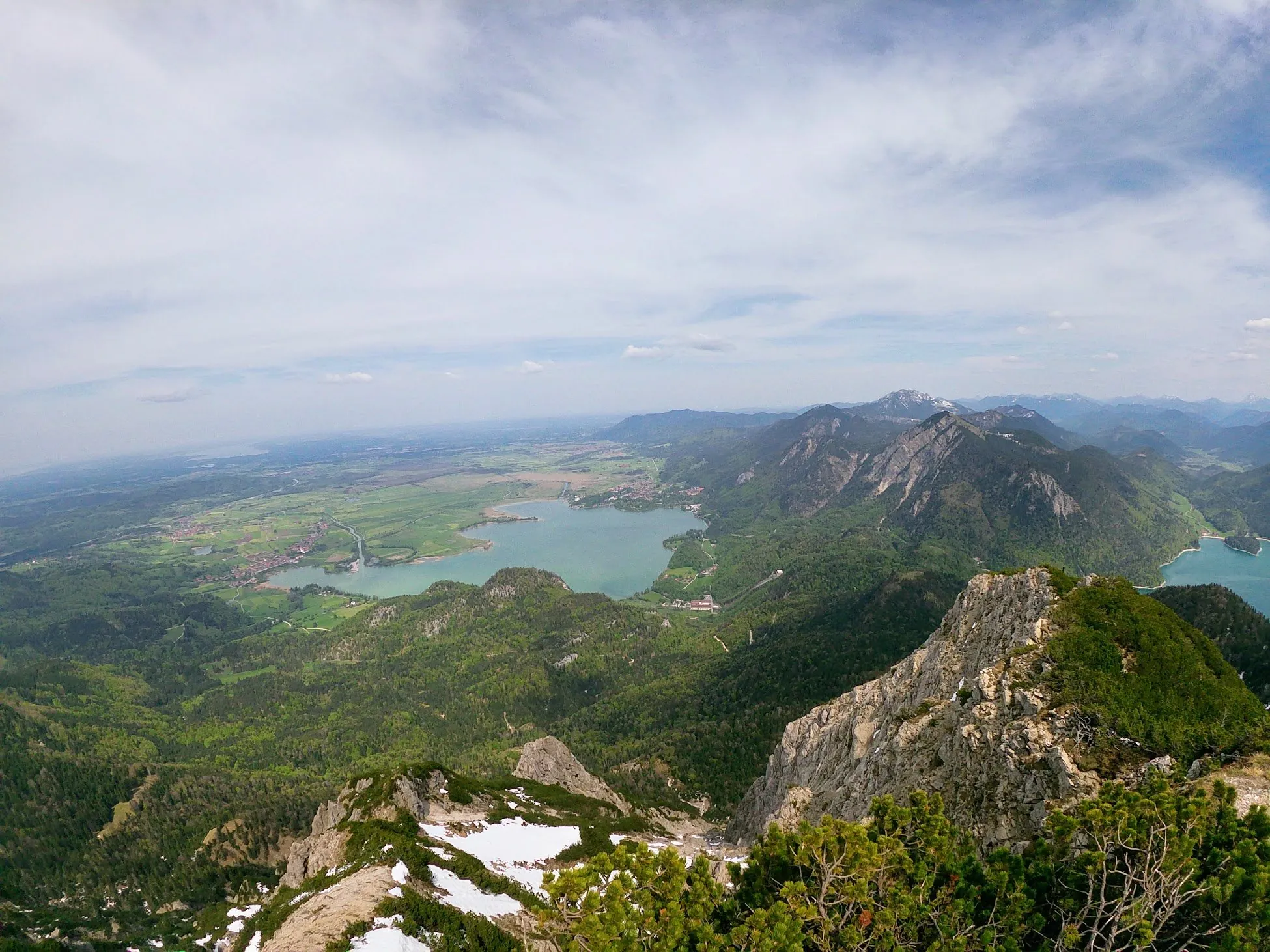
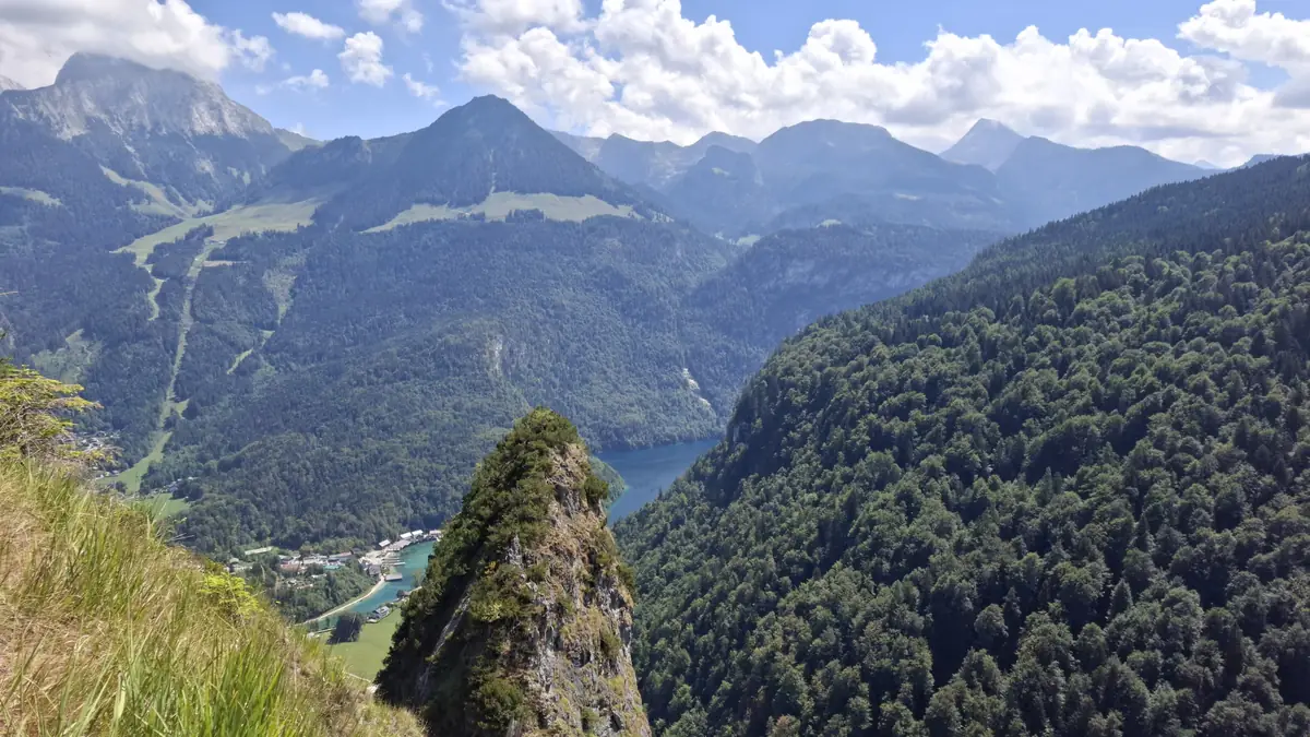
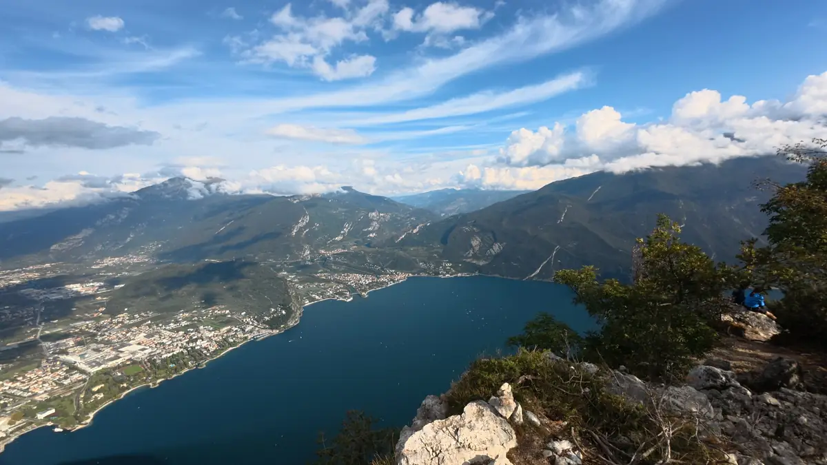
The Herzogstand hike is one of the classic day trips from Munich into the Bavarian Prealps. From the 1,731 m summit you look down on two lakes at once: the deep blue Walchensee on one side and Kochelsee on the other.
You don't need a car: take the train to Kochel am See, then the bus towards Walchensee. The trail is moderate and never too steep. On the zigzag section you can choose between the regular switchbacks and a steeper shortcut through the meadows, so you decide how sweaty it gets. Plan about 3 hours of hiking plus a break.
At the top, a beer garden with panoramic views over the Bavarian landscape waits for you. Afterwards, skip the knee-crushing descent and ride the Herzogstandbahn cable car back down in about 5 minutes. Lace up and go!
Key details for Herzogstand Hike: Two Lakes from One Summit
Best Time to Visit
Spring-Summer-Fall
Go when it's not too cold, wet or snowy. Weekends are busy, so start early. The mountain inn at the top is closed on Tuesdays.
Difficulty
Easy-Medium
Moderate but never too steep, so most hikers can do it. On the zigzag section you can stick to the regular path or take a steeper shortcut through the meadows.
Duration
3-4 hours
About 3 hours of hiking plus a one-hour break to enjoy the view. Riding the cable car down saves the descent.
Reachability
Car/Public Transport
Take the train from Munich to Kochel am See, then RVO bus 9608 towards Walchensee. The bus is often packed with hikers, so expect to stand. Drivers can use the paid car park at the Herzogstandbahn valley station.
Essential tips for your visit to Herzogstand Hike: Two Lakes from One Summit
The last cable car down leaves at 5:15 PM (current timetable), so keep an eye on the time while you relax in the beer garden.
Start early. The train and bus from Munich fill up fast on sunny weekends, and the trail gets busy too.
There's a tougher approach from the other side of the mountain, which is said to be even more breathtaking. We haven't tried it yet.
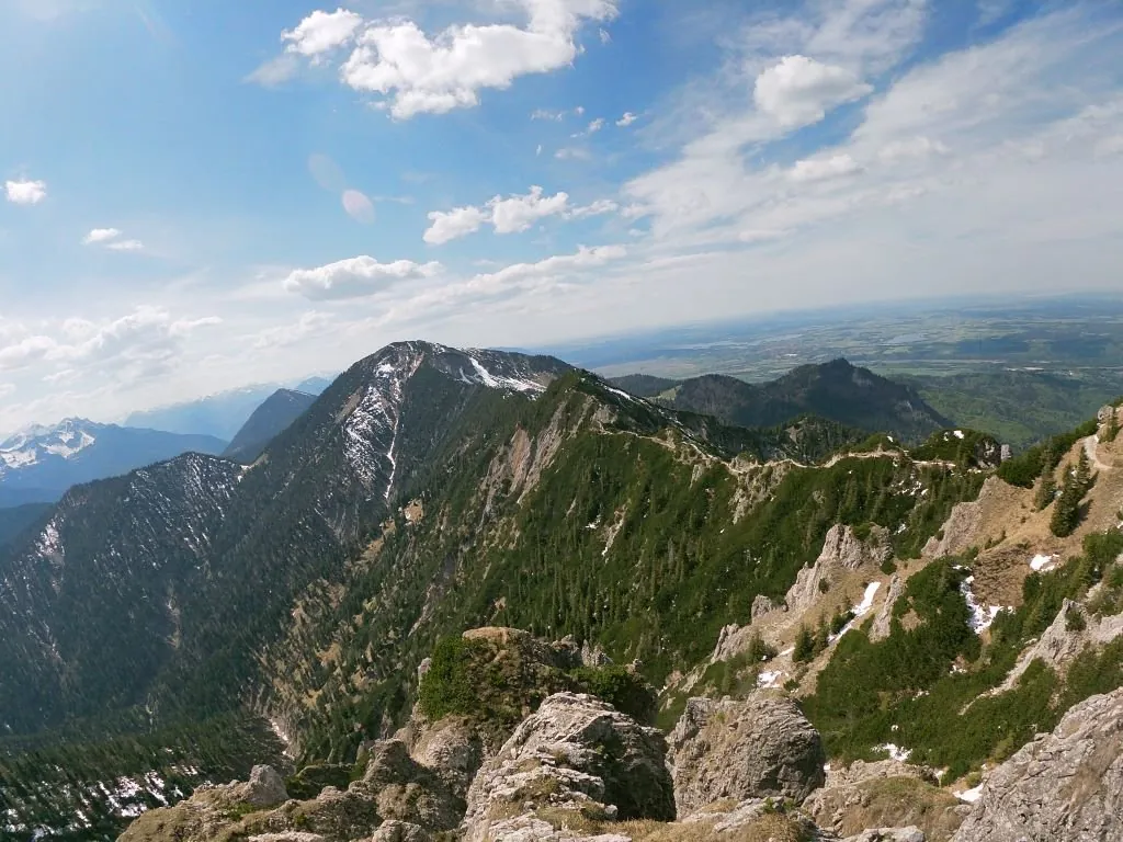
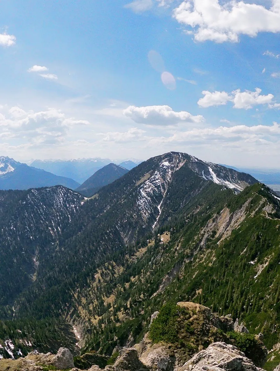
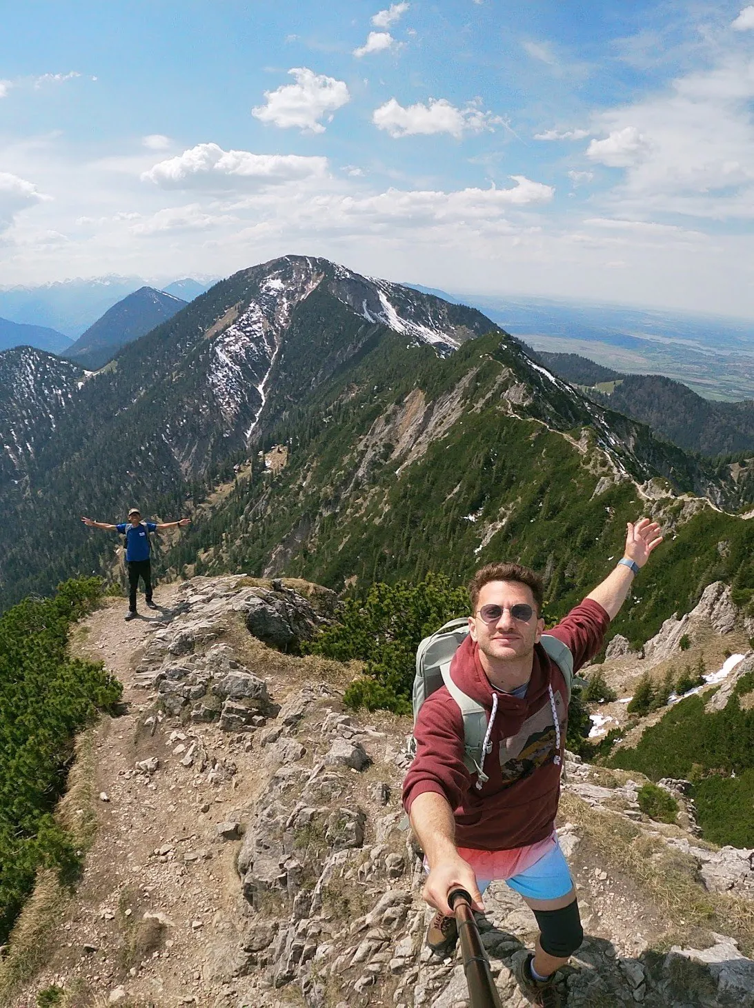
Want a bigger day? The ridge trail continues to Heimgarten (1,790 m). It's secured, but you need to be sure-footed and have a head for heights.
Useful links
Map
Related Adventures
Share this adventure
Help others discover this amazing adventure!